Name: Mt Mabilog
Elevation: 428 MASL
Difficulty: 2/9
Location: San Pablo & Nagcarlan, Laguna
Jump Off Point: Brgy. Sulsuguin, Nagcarlan
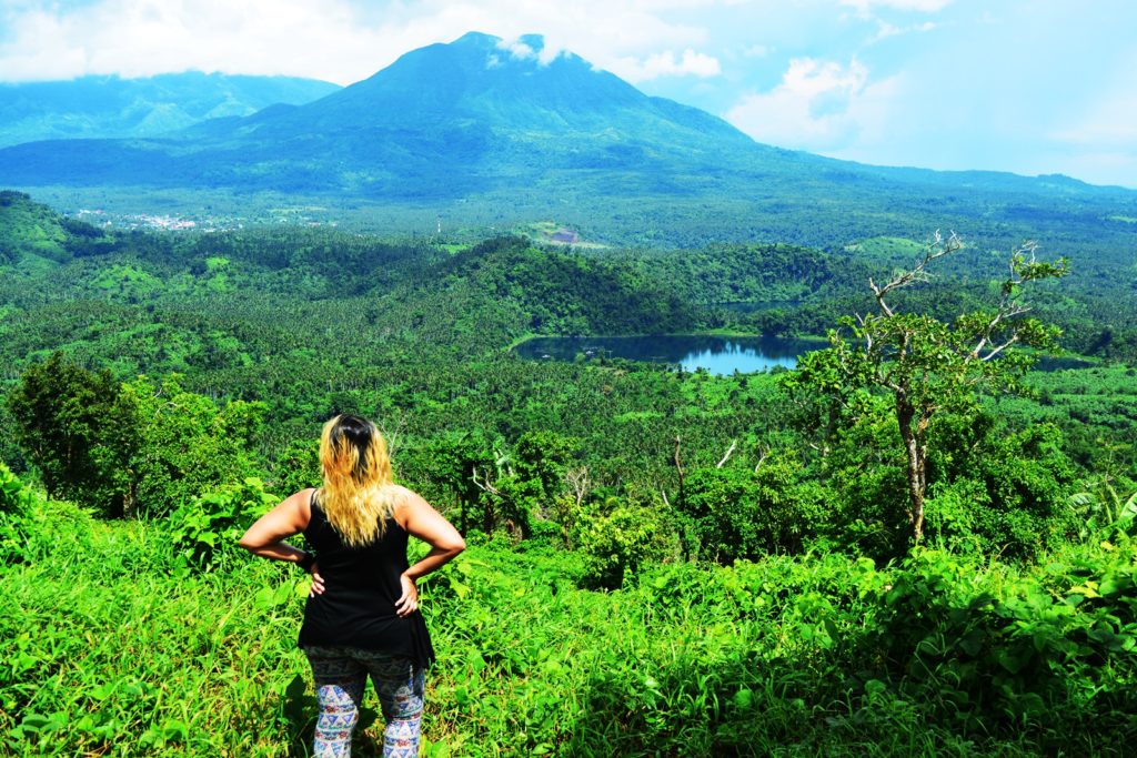
Features: Grasslands. Coconut, Banana & Corn Fields. Breathtaking View of the 7 Lakes of San Pablo, Mts. Makiling, Banahaw, Cristobal and the other surrounding mountain ranges.
Considering its elevation, Mt. Mabilog doesn’t seem to be much of a challenging hike. Yet. I do beg for you to not spit such a conclusion early on as this little mountain other hikers consider more as a hill might make you regret it. Nestled among the formidable giants of Laguna, Mt. Mabilog stood out to be a favorite day hike for both seasoned and rookie mountaineers due to the impeccable view of the 7 lakes of San Pablo seen atop its summit and on the not so distant horizon stood in full glory Mts. Makiling, Banahaw, and Cristobal.
THE HIKE IN MT. MABILOG UNDER THE POURING SKY
I tilted my head upward and let the raindrops wash my ashen face. Just 45 minutes ago, the sun was shining at its brightest with his warmth burning against my skin. My cheeks have turned red and I was already sweating like hell until the sky decided to get nasty. As I watched the sky turned grey, I noticed my skin resemble its color. Pale. Lifeless. Cold. The wind blew a chilling air sending my body shivering all the way to my spine. I gazed at the summit obscured by the same darkness that had engulfed the entire mountain. I was standing 10 minutes away from the peak. A few more painstaking assaults and I will soon find myself basking at another fulfilling moment atop a magnificent summit. But it rained. And there was no helping it. I let out a sigh and it didn’t take long for a once distant voice to finally find its way through waking me out of my reverie.
It was Ian, my-boyfie-slash-ill-tempered-hiking-buddy calling me to run for shelter at an empty farmer’s hut behind the thick bush. There were soft drizzles during the earlier 45 minutes of the hike but this downpour was threatening to stay for yet another hour. I ran towards the hut where Ian and our guide stood with their wary looks pointed at the worsening rain. I was praying real hard for not a soul to ever speak about turning back and canceling the hike for another day. Nobody spoke and I felt a bit of ease as I squeezed myself in to sit at a bench. I settled my backpack and camera beside me pulling out a dry cloth to pat them dry. I then pulled out a pack of Rebisco chocolate-coated cookies. I was surprised to realize the last time I had eaten was 5 hours ago and the clock was about to hit 2 in the afternoon. I offered them the cookies. I couldn’t help but think the delight to be sipping hot chocolate in this cold stormy weather while I nibbled the cookie in my hand.
We were in a moment of silence for a little while until Ian, being the outgoing, sociable, friendly whatever person that he is, started talking to our guide, engaging him to each of the stuff he managed to bring up the table. I just listened to them while I suppress the urge to say a word. Before this year’s Presidential Elections, Ian was all about Mayor Duterte and how much he is rooting for him to win. He spoke about it to anyone. To some random strangers at the smoking area. The cab driver on our way home. To some of my friends in the office whom he barely knew. To our neighbors. And even now when the elections were over, it is pretty much the same. I looked at the guy whom I have shared 4 years of roller coaster ride with and marveled at how he can be so spontaneous. I am not the bashful type. In fact, I do think I am an outgoing person too. But I always find it hard to keep the conversation going. While Ian. He makes it as easy as breathing.
While keenly observing the two men in front of me, I noticed Ian was hardly soiled. I suddenly felt the need the check myself. Slowly, I shifted my eyes to my shoes tracing my legs until a few inches up my knees. I was a mess. Mud painted my shoes and some parts of my lower legs. I suddenly became intrigued. How could that be possible? While I was the outdoor enthusiast and Ian was more of a couch potato, how is that possible for him to stay so poised and cool even after the most arduous hike while I am completely the opposite of those definitions. Like how is that even possible now where right at the start of the hike, filth was everywhere. Like there wasn’t an instant we passed by a dry, dusty trail. And like a sudden outpour of knowledge, I decided to do some notes.
I pulled out a pen and my journal which I haven’t cared to write on since my trip to Vietnam during the last week of March. I figured the rain isn’t about to stop pouring anytime soon so it would serve me best to jut down some important things about the hike. I focused and tried to recall what took place within the first 45 minutes before we were stalled by the heavy rain. I remembered us walking on a flat concrete road after coming from the cottages lined in front of Yambo Lake. The guide told me we were taking a different route and we won’t be tracing the shores of the lake to cut the hike short. The concrete road where we have walked for a few good minutes went straight then we turned left at the first block. Upon us reaching a T-junction in front of a huge red gate, we took a quick left off the road.
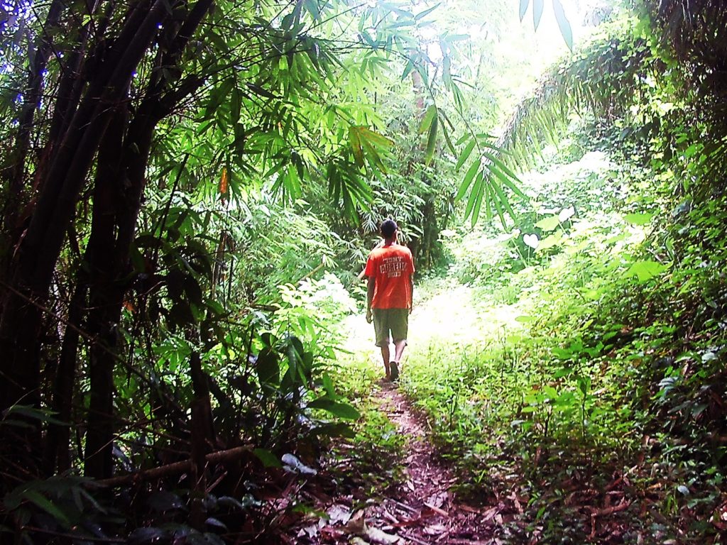
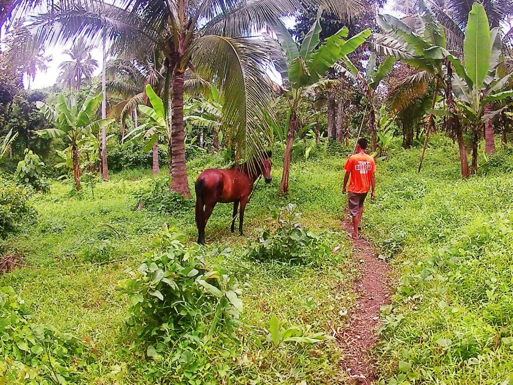
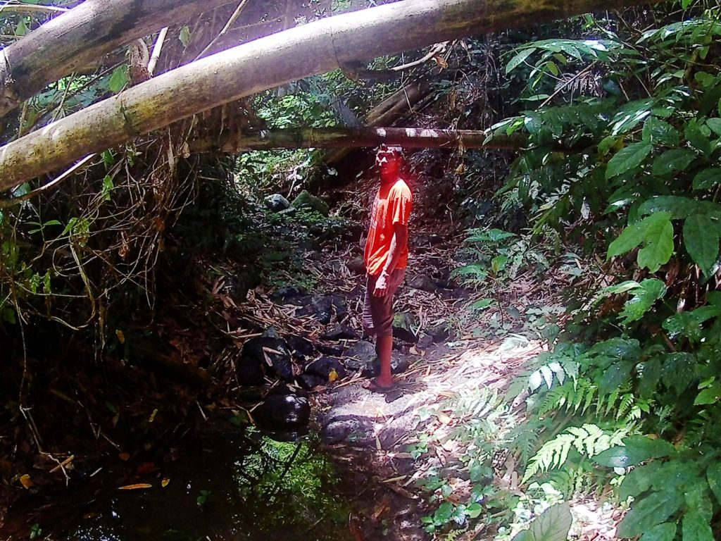
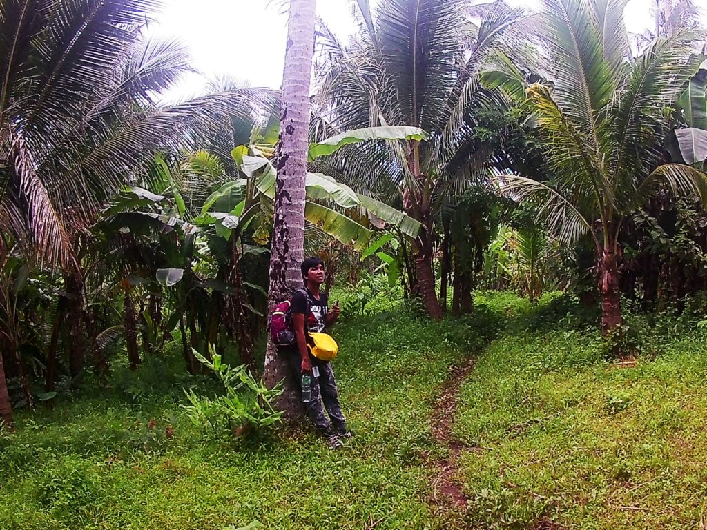
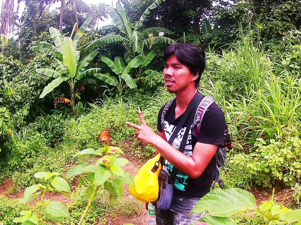
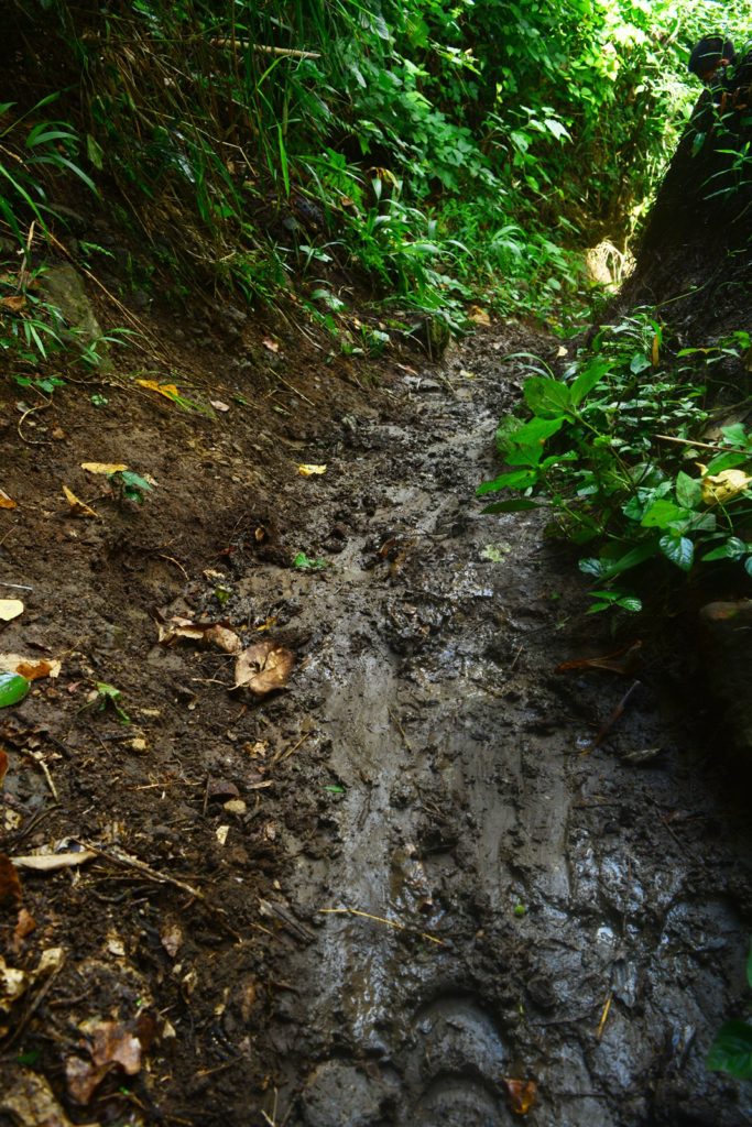
We entered the woods where the muddy trek began. The beginning of the trek was through a series of muddy slopes emblazoned with huge slippery rocks which lasted for about 10 minutes before we descended to a stream. After crossing the stream with branches protruding overhead, we reached a coconut field. Finally! A relaxing walk on a flat surface that stretches for about 100 meters until the beginning of the nonstop assault. The beginning of the assault was through the muddiest part of the trail which isn’t at all surprising since this is the same pathway farmers and their horses use to tend to their fields situated up the mountains. The sky would softly drizzle while the sun shone in the middle. It was surreal seeing two forces of nature, the rain and the sun battling until one emerges a victor while we hurriedly hike to reach the peak.
Mt. Mabilog is so stunning. I like that she is off the mainstream. Her unperturbed world is so serene. The tranquillity she offers is just soothing with only the sounds of the birds and insects playing in repeat. I was in awe to see butterflies flying to sniff the sweet-scented flowers abundantly growing in her soil. Their wings the different hues of happiness. The enchanting scene I was marveling at made me oblivious of time. I hardly even noticed we were trekking for 30 minutes with us barely taking breathers in between. If only my backpack was not bothering me, I wouldn’t have thought about taking a rest.
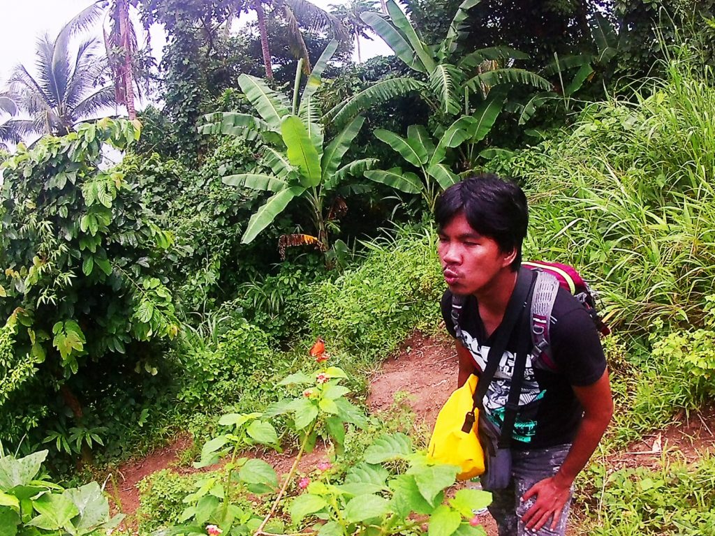
I called for our guide to slow down. He looked back and in a heartbeat traced his way towards us. I jokingly remarked about him being the only person to have made me walk for 30 minutes without taking short breathers. Ian supported my statement while laughing at how we are not used to be speedy mitty whenever we hike. Our guide smiled. He was a little embarrassed for not taking into account our preferred pace to which we dismissed shortly telling him it was okay. He gladly took the bag off me. I was carrying like a 30L filled to the brink company backpack which my goodie boyfie who is not much of a gentleman refused to load himself with. I was determined to take the weight up the summit on my own but considering the bag with no ample back support and ventilation, I doubt my back stricken with scoliosis will last another minute carrying that much weight.
We continued with the assault as the muddy trail quickly became too steep and a little unestablished. It wasn’t until after 10 minutes that I decided to take another breather. This time we are only 10-15 minutes away from the summit. I braced myself for the oncoming torture, quenching my thirst with what’s left of our water. Just when we were about to resume the hike, thunder came roaring, and in a blink of an eye, the rest of the mountain was dripping wet from the unexpected heavy downpour. The sun was nowhere to be found. Not a single of its blinding rays peeking at the canopy. He lost after putting up a good fight. It was just shades of grey now and the rain washing everything away.
I was just about to finish jutting down my journal when I caught a ray of light slowly chasing the gloom away. Quickly everything in sight was brimming with life like the first morning of spring. The sound of raindrops as it hit the ground a thousand times in a second that was our lullaby for the past hour was then replaced by the blissful chirping of the birds. The entire mountain seemed to have been born anew. The sky was suddenly painted blue and the threat of another downpour completely gone. The sweet dewy air smelled so cheerful that it didn’t take long for us to feel the renewed sense of adventure. In no time, off we went to take on the challenge of the last leg of the hike towards the finish line.
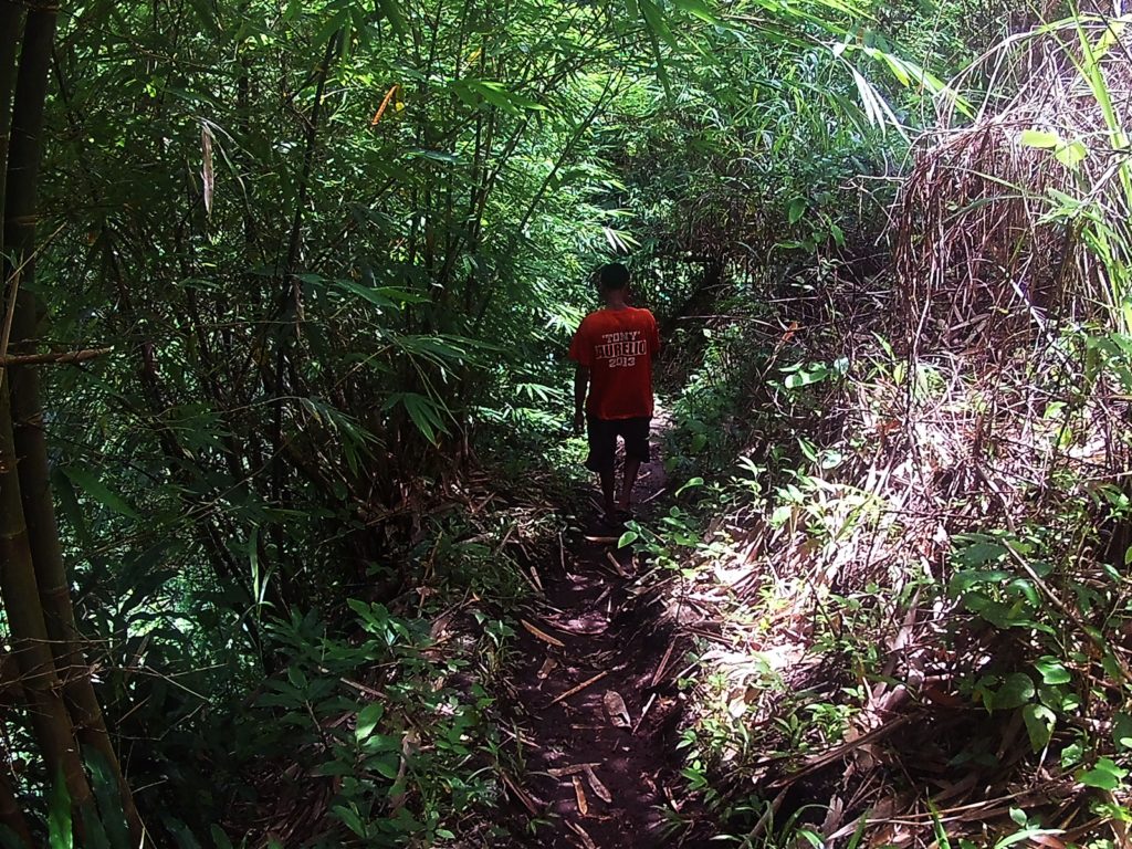
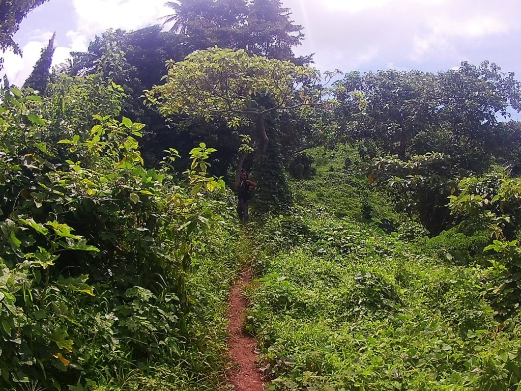
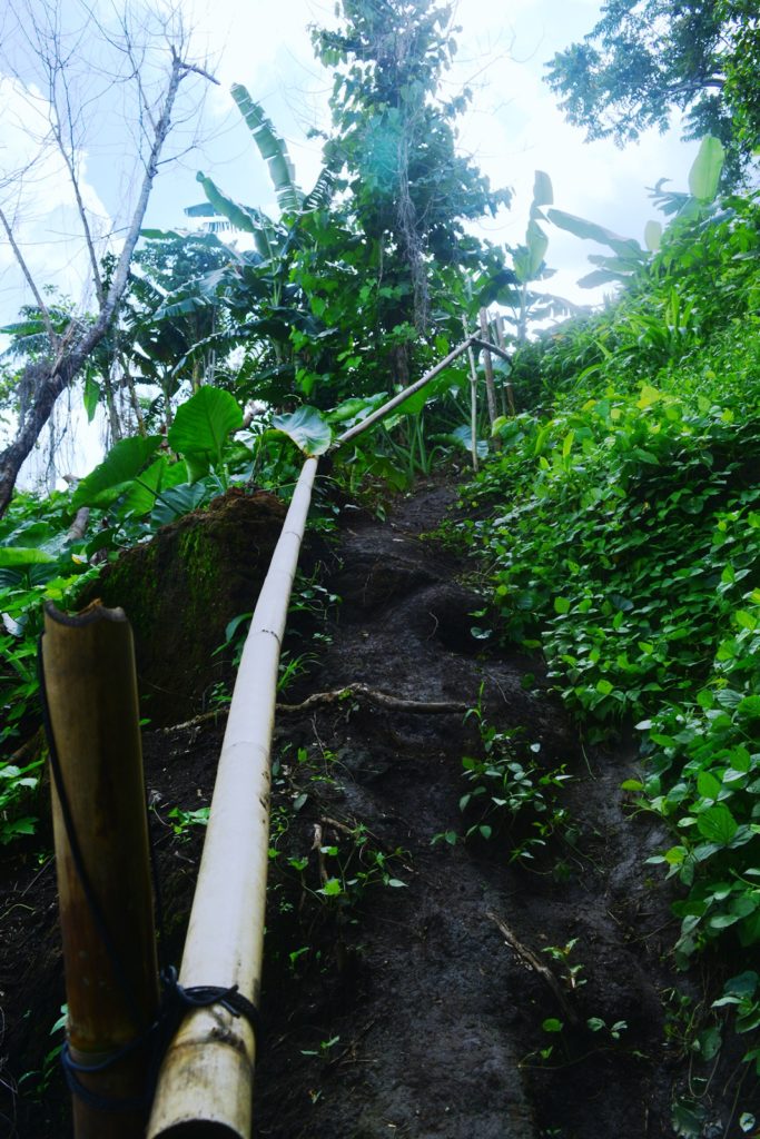
The hike to the summit was a relentless assault along thick bushes growing overhead. The trail has no established pathways and was a little obscured by the surrounding vegetation. As the sweeper of us three, my only indication of the right path was the familiar voices of two men who, after an hour of nonstop conversation, have refused to be tamed and shut. After passing by the overgrown bushes, I found myself at the foot of a hill without a well-defined pathway and the only indication it was the way up was the bamboo pipes provided as a handrail to an invisible staircase which stretch to about 40-50 meters of steep and slippery assault. Passed that is the last mild assault to the summit.
THE GLORIOUS HOUR AT THE SUMMIT AND MEETING A PURR FRIEND
Mts. Makiling, Cristobal, and Banahaw were such immaculate sights as the snowy white clouds sit atop their summits obstructing the entirety of them from view. Their stance was forbidding that I found even the mere thought of planning to hike within their world too intimidating. They are formidable giants only seasoned mountaineers dare explore, I thought. Basking at the glory in front of me, I made a promise of someday finding the courage to unravel the mystery behind these enchanting mountains most rookie mountaineers like myself dared not dip fingers on. There at the spacious and flat summit of Mt. Mabilog, I swore to one day see her atop those mountains I was looking at in a distance.
The panoramic view of the 7 Lakes of San Pablo is not to be ignored either. While the marvelous view of the Southern Tagalog mountains may have made them no more than a shadow of an unrivaled charm, all 7 of them, however, have refused to stay behind the spotlight. They looked like natural pools from afar with Yambo and Pandin Lakes standing out the most. Them surrounded with lush forest made them seem greener and more pristine than ever. And just when I was about to content myself with the picturesque view I beheld, an adorably cheerful little creature so suddenly made its presence felt.
My jaw dropped, slightly opening my mouth much like the way when one gets struck by a movie star as I watched a white and orange coated purr baby ran towards us while meowing constantly as if we were his humans. He must have seen a big heart from my 176 pound body that goes out as always for adorable creatures such as he since he wasted no time to show off. Unfortunately for him though, I only had chocolate cookies and a bunch of chocolate goodies in my backpack. Poor little buddy, he had to settle to drinking empty our water bottle.
I wondered, while “Bilog” (the name I called him) was having himself a refreshing fill, how he was on his own atop a mountain sprawling with acres of greens and how he fends for himself. I read in one article that cats are dominant species and they are able to survive in the wild more than any humans can but looking at how adorable he was I couldn’t help but worry.
He finished his drink and immediately started playing with both Ian and me. I have no way of being able to bring him home so I thought about spoiling him and giving in to all his biddings as one way to compensate him for the memorable time he shared with us. We played hide and seek and a whole bunch of cat’s stuff I have never fully understood ever since.
We must have spent almost an hour playing with “Bilog” until he so suddenly ran towards a thick bush as though he was to confront something or someone familiar. We tried to run after him but he was gone in a matter of seconds. We waited and called for him but he was nowhere to be found. Minutes past and still he hasn’t emerged out of the bush so we decided it was time to head back down.
THE TORTURE OF GOING DOWN AND THE THREAT OF ANOTHER DOWNPOUR
The clouds were slowly taking over the blue sky once more, hindering the sun from shedding his light and warmth. The cold melancholic air had returned sending chills to my skin. The descent was still fun but was more challenging. The trail was more of torture going down than it was when we were on our way up. The unestablished pathways were too slippery with not much support to keep my balance and prevent me from falling on my back.
The tormenting descent with a threat of another heavy downpour lasted for another 30 minutes. I was just glad we were passed the parts where there were steep and slippery descents when the rain finally came pouring relentlessly and I was just to cover the last few meters from the stream to the mouth of the trail while the entire me was soaking wet from the nonstop drizzle. I emerged out of the woods at 5:00 PM with a sigh and a fulfilled smile spanning from one ear to another.
TIPS IN HIKING MT. MABIL0G
- It is essential to get a local guide. Although the hike, in general, is easy, Mt. Mabilog lacks direction markers and has several pathways that may lead hikers astray.
- Unestablished pathways. There were parts of the trail that newbie mountaineers may find difficult to navigate through.
- Badly beaten tracks. The trail is not just used by hikers but is also shared by farmers and their animals making the path too slippery and muddy when it rains.
HOW TO GO TO MT. MABILOG
- From Manila – Ride a Jac Liner or any bus bound for Lucena in Buendia/Kamias Bus Terminals. Alight the bus in SM San Pablo then ride a jeepney to San Pablo proper. Walk from the final stop inside the public market to the street near the Fire Station across 7/11. Ride a Jeep to Narcarlan. Alight in the terminal and ride a tricycle going to Brgy. Sulsuguin.
- From Alabang – Ride a bus bound for Lucena and alight in SM San Pablo. Fare is P98. Follow the remaining steps above.
- From San Pedro, Biñan and Sta. Rosa – Go to Balibago complex. Ride a van to going to San Pablo City. Fare is P75. Follow the remaining directions above when you get to San Pablo.
- From Calamba, Los Baños, & Calauan – Ride a jeep or a bus going to Sta Cruz. Once in Sta Cruz, ride a passenger jeep to Nagcarlan. Follow the remaining directions above.
- From Dasma and Pala-Pala – Ride a van going to Sta. Cruz. Once in Sta Cruz, ride a passenger jeep going to Nagcarlan. Follow the remaining directions above.
SAMPLE BUDGET, CONTACT INFO, FEES & ITINERARY
| SUMMARY OF EXPENSES | RT Bus Fare Mla-SM San Pablo - P250 RT Jeep SM-San Pablo - P14 RT Jeep to Nagcarlan - P50 RT Tricyle To Yambo Lake - P50 Food & Rafting (Yambo Lake) - P360 Guide Fee - P75 TOTAL - P799/person for a group of 4 |
| FEES | Registration - None Guide Fee - P300 for 5 people Cottage (Yambo Lake) - P200/day |
| CONTACT PERSON | Ate Leonor (Barangay) - 09193374992 |
| SAMPLE ITINERARY | 0400 Meet Up Buendia/Kamias Bus Stations 0430 ETD SM San Pablo 0600 ETA SM San Pablo 0630 San Pablo Proper 0700 Nagcarlan 0730 Brgy. Sulsuguin. Breakfast 0900 Start Trek 1000 Summit 1200 End Trek. Lunch at Yambo Lake 1400 Sidetrip to Bunga Falls 1600 Underground Cemetery 1700 San Pablo 1900 Manila/Home |
INTERESTING SIDETRIPS AFTER HIKING MT. MABILOG
- Pandin and Yambo Lakes
- Bunga Falls
- Nagcarlan Underground Cemetery
There you go lovelies. If you have questions, feel free to send them to my inbox or drop them on the comments box below. This amazing hike in Mt. Mabilog can be done with another awesome hike to Mt. Kalisungan. More about it soon to come on the blog. Until next time guys. See yah. 🙂
Discover more from A Wanderful Sole
Subscribe to get the latest posts sent to your email.





2 Comments
anu yung exact location ng fire station at mismong bababaan sa nagcarlan proper para makapunta sa brgy. sulsuguin…? many thanks.
Yung fire station po is sa San Pablo, nasa left po pag nakaharap kayo ng church. Tapos po sa Nagcarlan proper, sa mismong babaan ng jeep meron na mga tric dun pero tanong nyo po sa yung pila ng brgy. sulsuguin.