Montalban is home to more than seven peaks, which are among the most popular and frequently visited mountains within the province of Rizal. These peaks may not be at par with their numerous counterparts in the Sierra Madre range considering their elevation but they sure don’t fall short of challenging trails. One of the all-time favorites in this part of Rizal is Mt. Binacayan which is one of the well-loved trio of Montalban along with Mts. Pamitinan and Hapunang Banoi. Altogether, these three share the impeccable view of Wawa Dam as well as the coveted morning sea of clouds which lucky visitors could witness atop their summits. They may be considered beginner-friendly mountains but their trails consisted mostly of limestone formations that will certainly make you sweat and at some point, will make you fall to your knees.
Update Feb 2021:
- Mt. Binacayan is now open to hikers. Online reservation through DENR Pamitinan Protected Landscape Facebook page is required prior to the hike as they limit ng number of hikers to only 115 per mountain per day. No Walk-ins are allowed.
- People below the age of 15 and above 65 will not be allowed to hike. A medical certificate is also required.
- Wearing a face mask and a face shield is required. They can be taken off during the hike but social distancing must be observed. Having alcohol handy is also a must.
- Hikers are now limited to hike two mountains per day. No trilogy will be allowed.
THE CLIMB TO MT. BINACAYAN
I haven’t summited a mountain for a long while prior to this hike. The last one was during our fun climb under the rain in Mt. Manabu back in January. Realizing it, I hate that I haven’t been true to the promise I made that I would hike more this year. Thinking that this would just be my 2nd mountain for 2017 makes me wonder what have I been doing these past few months! Oh, I know. Summer just passed and I remember being at the beach most of the time since January, kicking off the sunny season a little too early in Calaguas Island but still, I should have at least inserted a weekend to hike a mountain. I should probably make up for those lost opportunities come to the end of these gloomy monsoon rains. Perhaps I should finish the trio and hike Mt. Hapunang Banoi next.
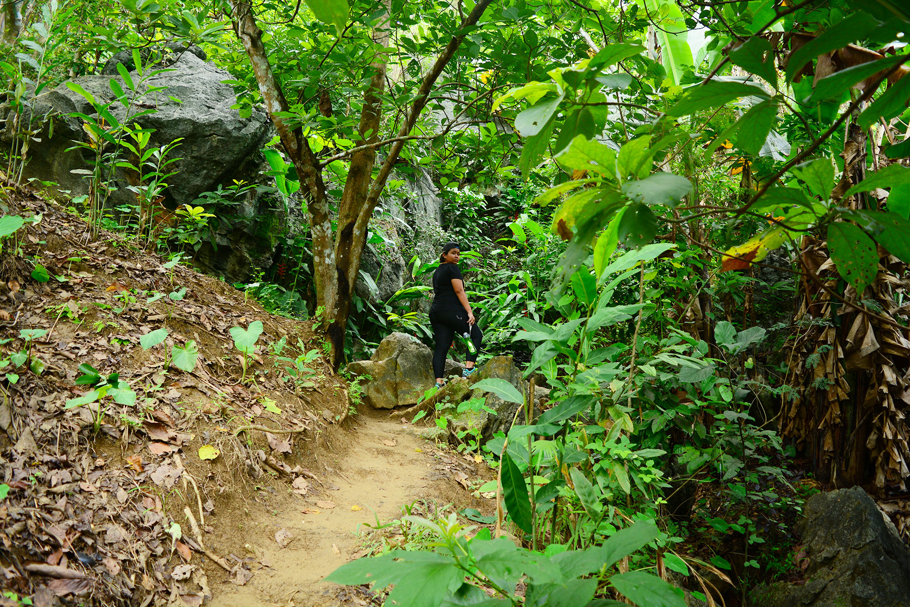
For this hike, I got my friend Mira to thank since she was the reason I got into “the hiking mood” again. She learned about my hiking adventures and asked if I could take her to one really soon. Since I have been in hiatus for 7 months, I decided that we go in hiking somewhere near and that’s when I thought about Mt. Binacayan. Not only that it’s favorable to where I live but it was also the perfect choice for I was looking for a beginner-friendly trail my newbie friend could take on.
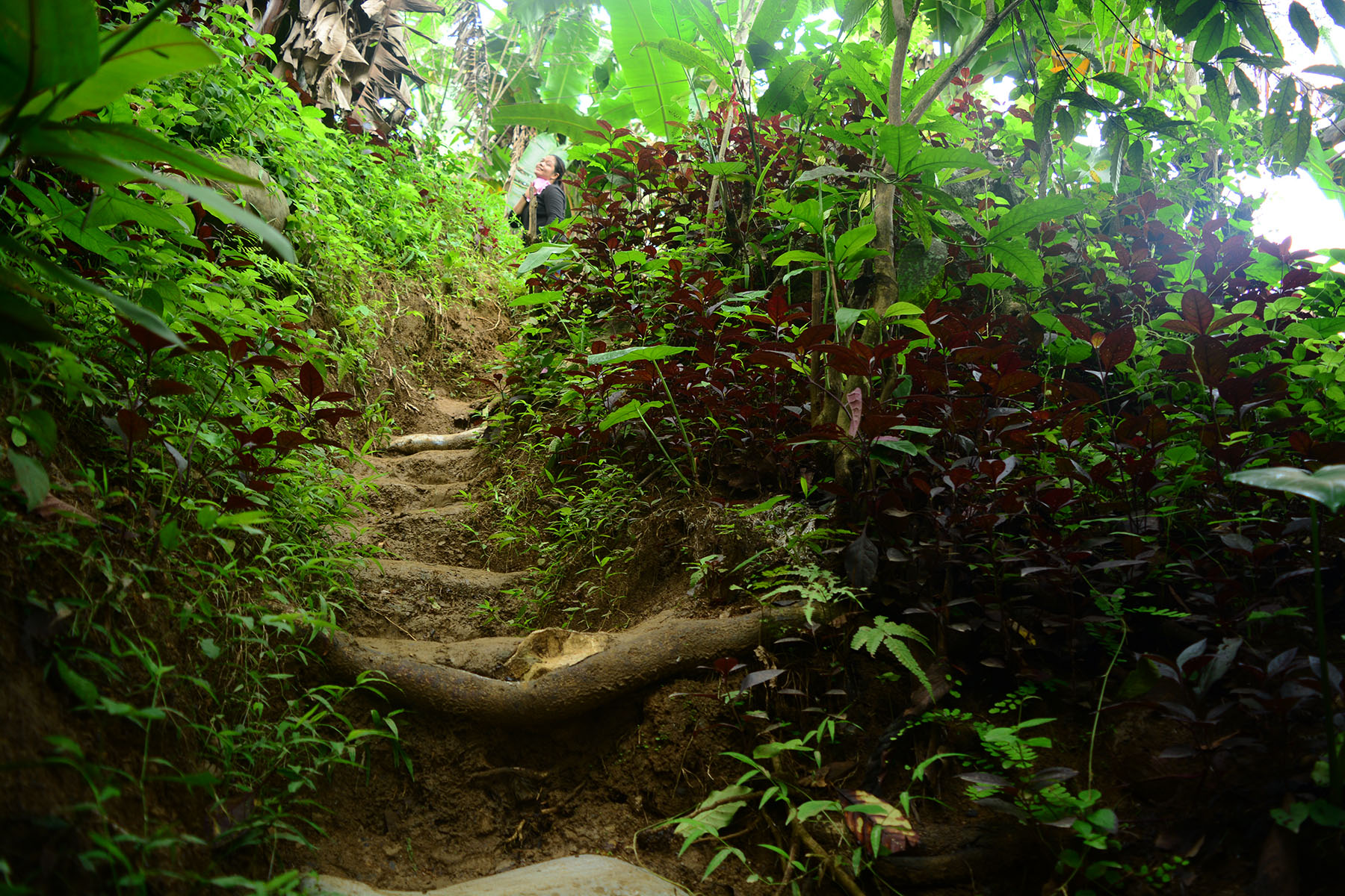
We traveled the usual route to Montalban, riding a UV Express in Jollibee Farmers branch in Cubao to the Ministop branch in Eastwood Subdivision and a tricycle to Brgy. Wawa at 6AM. We arrived at the registration site at a little past 7AM and started the hike maybe a few minutes before 8AM. Since during my previous hike in Mt. Pamitinan I endured bruises and scrapes on my hands for navigating through limestone formations without gloves, I took the time to buy myself a pair this time. It felt weird on my hands and a bit restricting at first but I got used to it as we went along.
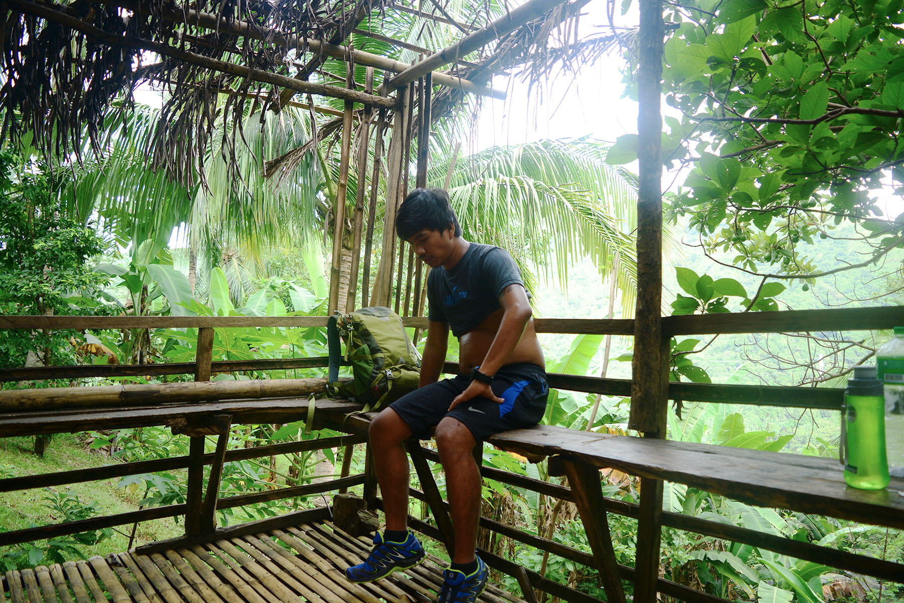
The hike started with us walking along a concrete road. From the registration area, we followed the way going to Wawa Dam but instead of going right in the intersection, we followed the route on the left instead. The concrete road continued for about 2 kilometers more gradually ascending as we passed through local houses. Then it ended and the ascent continued along soft earth through a well-defined trail. The first part of the slippery ascent along soft earth and occasional rocks went for about 2KM before taking a left upon reaching a basketball court in front of a store.
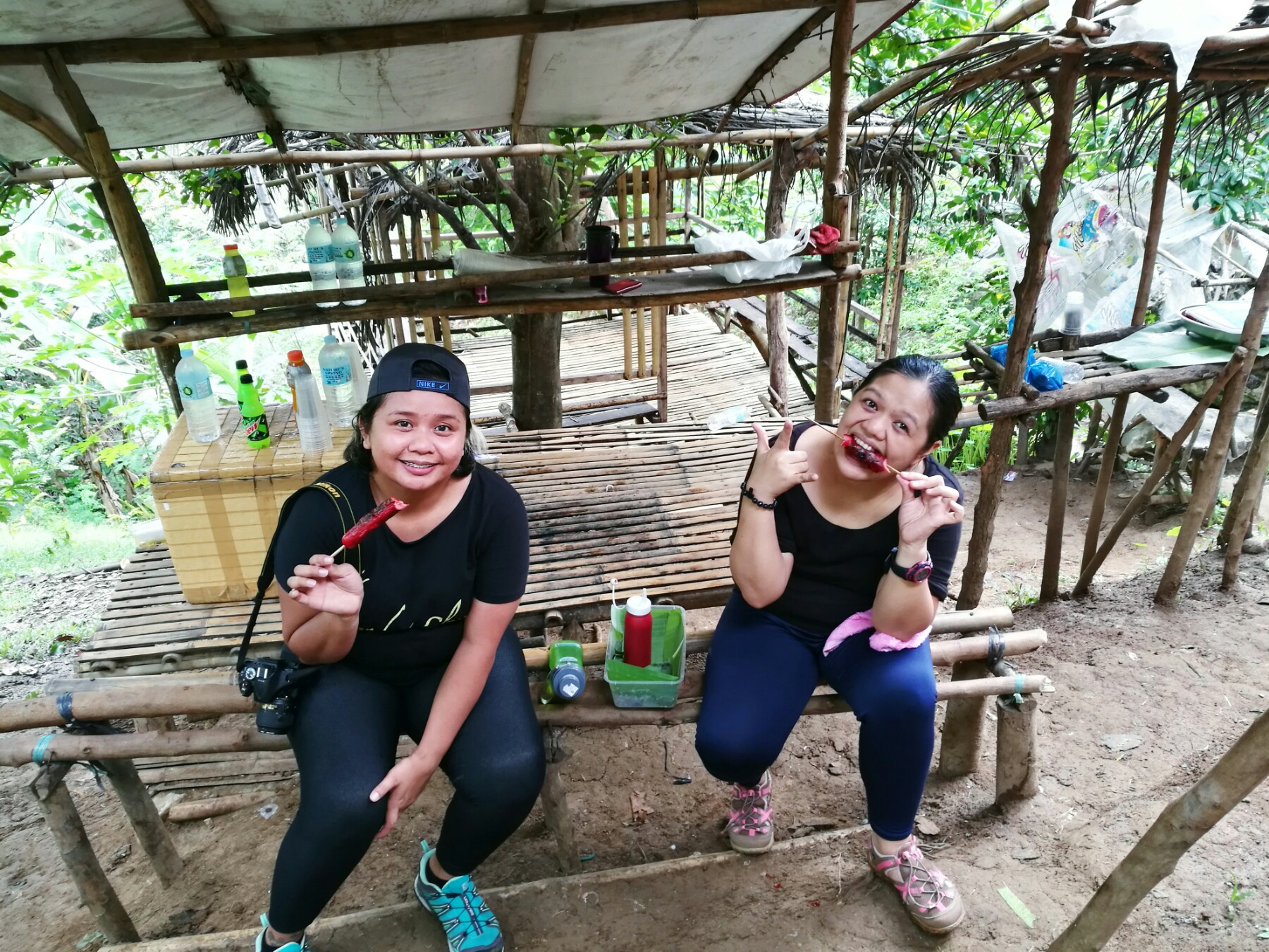
The trail past the store was no different from the first part from where the concrete road ended. We trekked along slopes of soft earth occasionally emblazoned with rocks for about 20-30 minutes stopping for short breathers in between before reaching a resting camp which gave us a glimpse of the surrounding greenery for the first time. We stayed there relieving ourselves of hunger over grilled hotdogs and avocado shake.
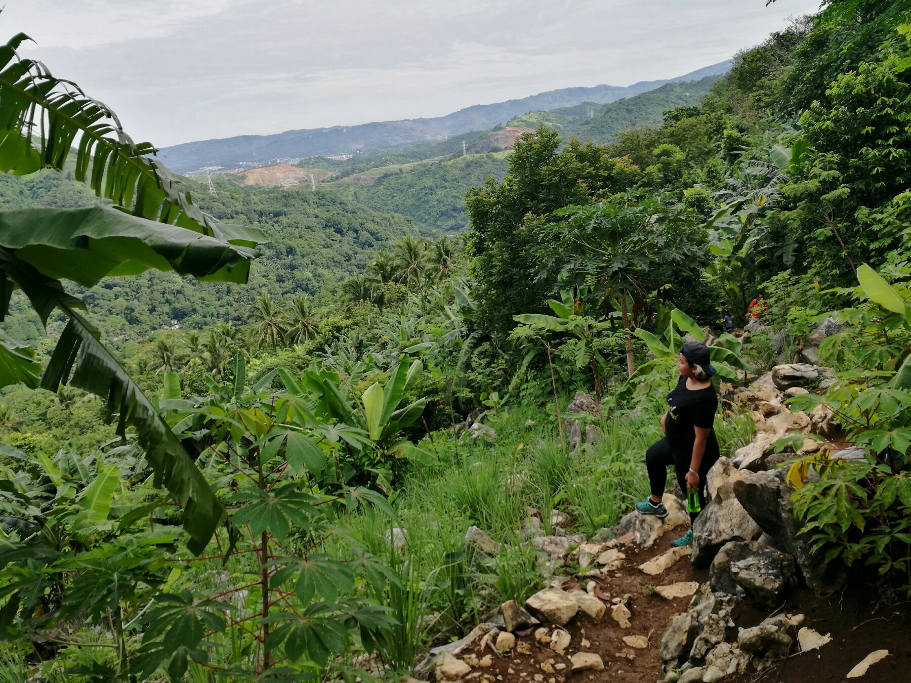
We continued the the ascent along soft earth. After 10 minutes is when we encountered a series of trails filled with limestone rocks before finally approaching the so-called “Rockies”. The “Rockies” consisted of several jagged limestone formations. This part of Mt. Binacayan offers an unobstructed view of the surrounding mountains of Rizal but I still think Mt. Maculot‘s version of the “Rockies” is way more immaculate.
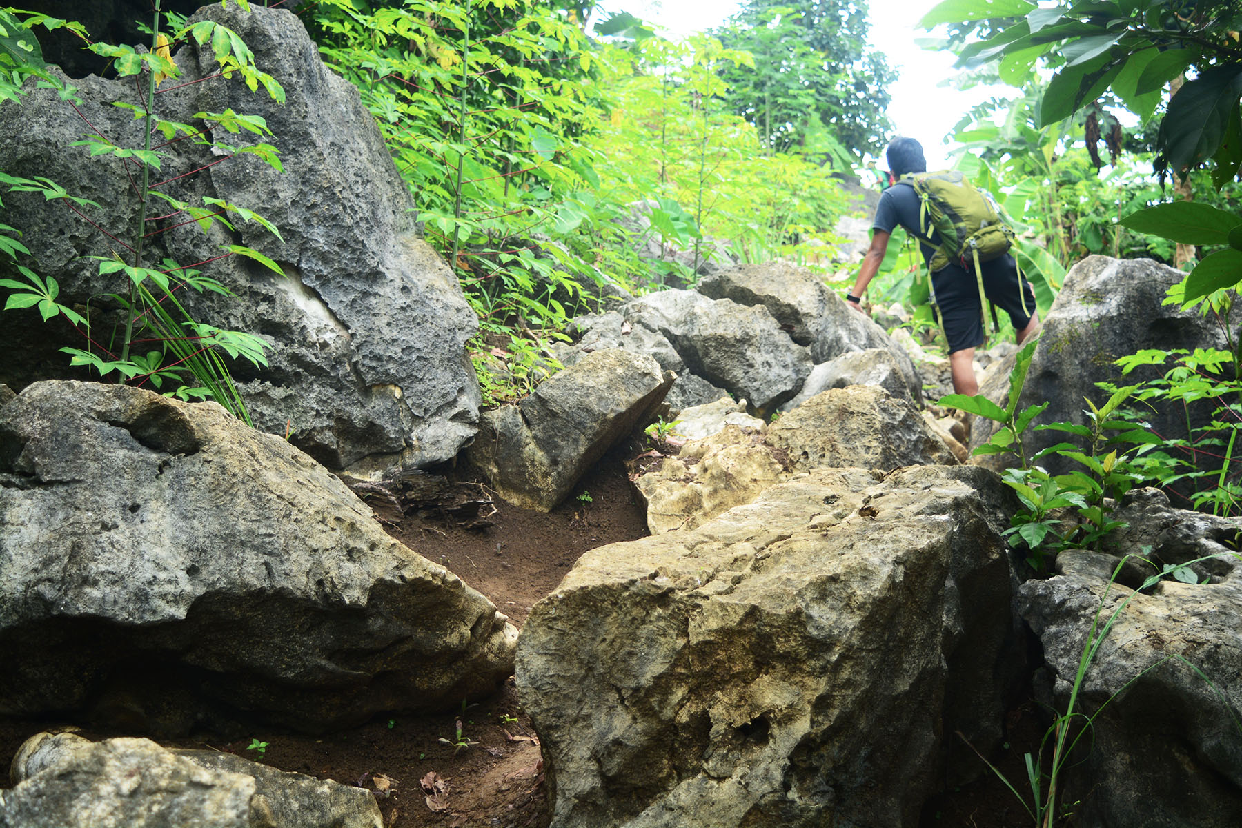
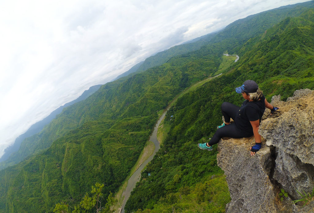
From the “Rockies”, we continued the trek along soft earth interchanging with rough limestone formations. It took us another 30 minutes to reach the viewing point. The viewing point is a descent from the main trail along steep limestone cliffs. After taking in the view from the viewpoint, we continued the trek to Peak 1. This time the trail consists mostly of limestone formations which are steeper and harder to navigate as we went through the ascent. Thirty minutes more and we found ourselves in Peak 1.
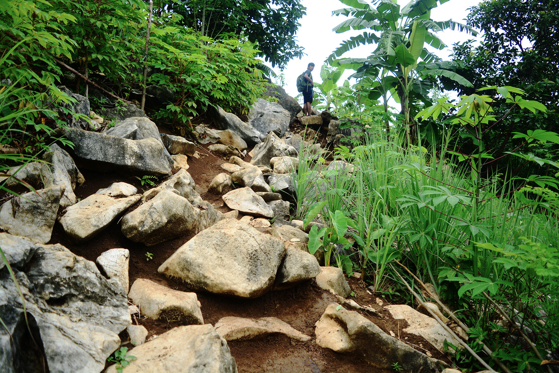
We took the time to relax while at Peak 1. We were starving and were running out of energy. The first part of this hike may have been really easy but the next series of events coming from the “Rockies” was pure torture. Good thing I bought me a pair of gloves and I was wearing my Salomon X-Ultra shoes otherwise I would have been crying in agony just like what happened to me in Mt. Pamitinan.
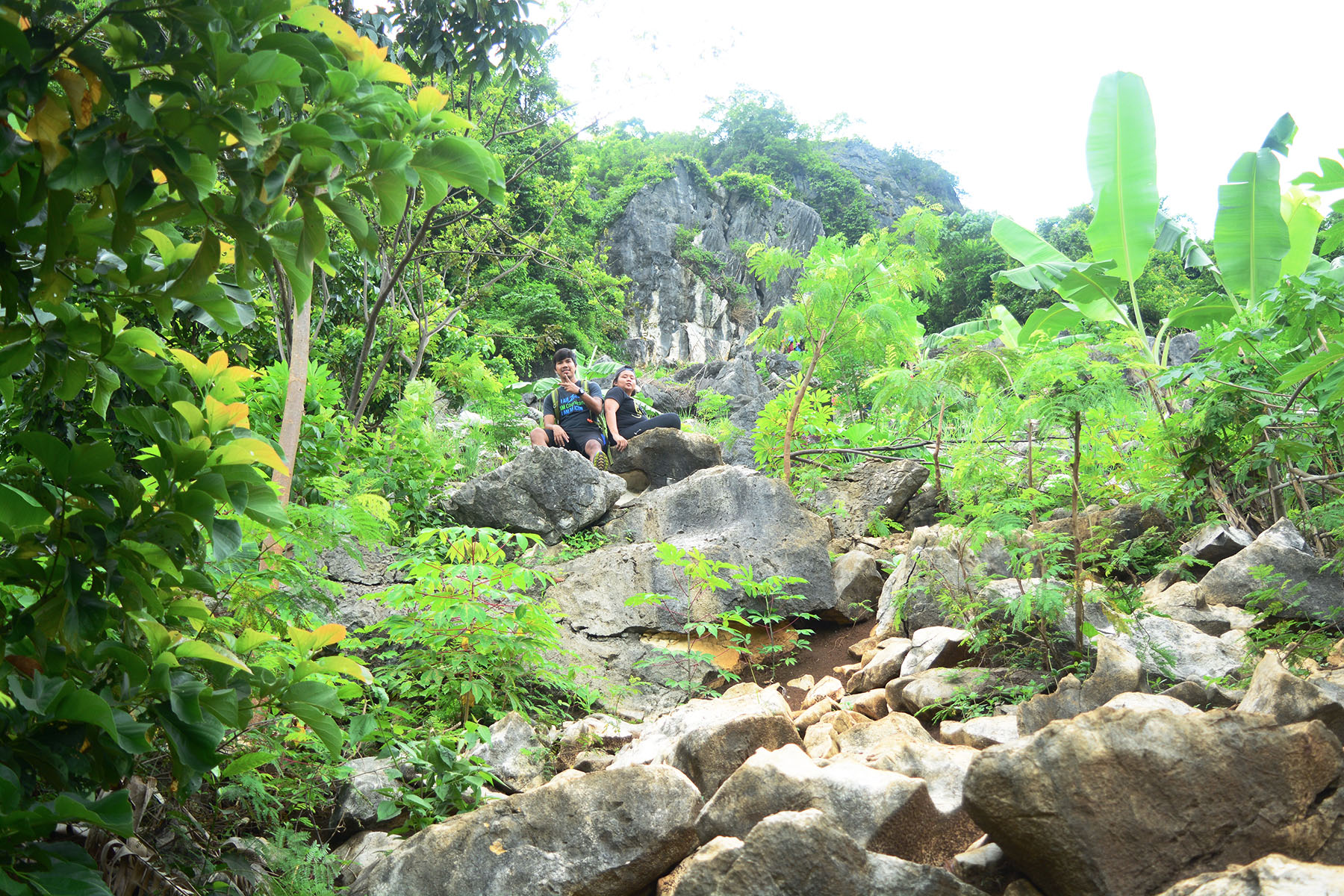
From Peak 1, a little rejuvenated, we continued the hike to Peak 2. The hike was not at all easy as it was along steep and jagged limestone formation. There were parts where we were scrambling along an 80-degree formation to vie our way up. We took breathers in between as we went through the ultimate test of endurance. Just when we thought things aren’t turning for the worse, our water supply ran out a few meters from Peak 2.
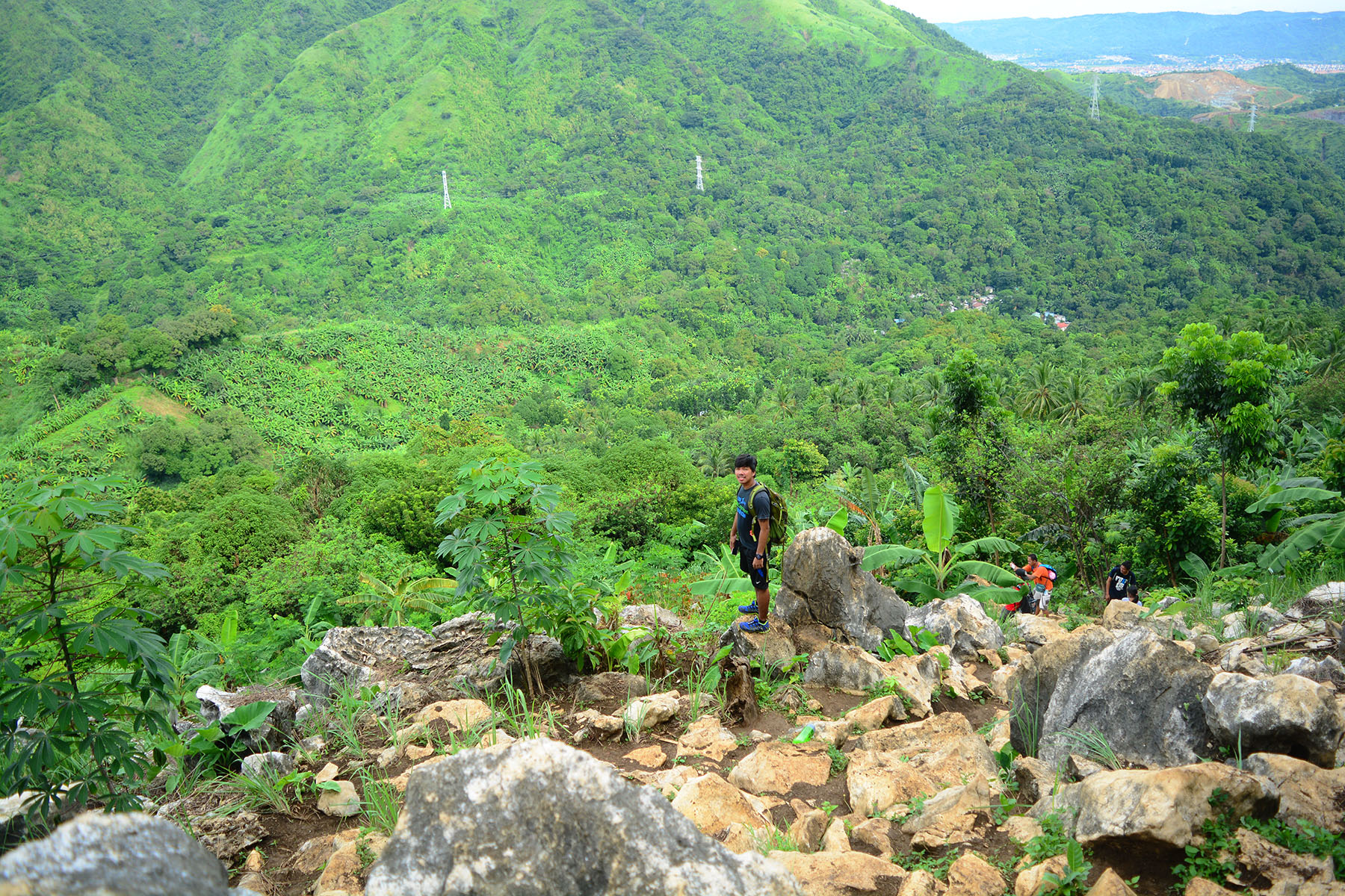
The hike went from fun to agonizing in just a matter of seconds. As we went through the ascent along the unforgiving limestone rocks, I started questioning where I fell short when it comes to the preparations I took before this hike. I thought real hard. Have I ever underestimated Mt. Binacayan? I guess somehow I did since I didn’t brought me enough water! Or maybe I did brought me what I thought would suffice for the hike but the idea of the hike being this grueling never really crossed my mind. (Sighs)
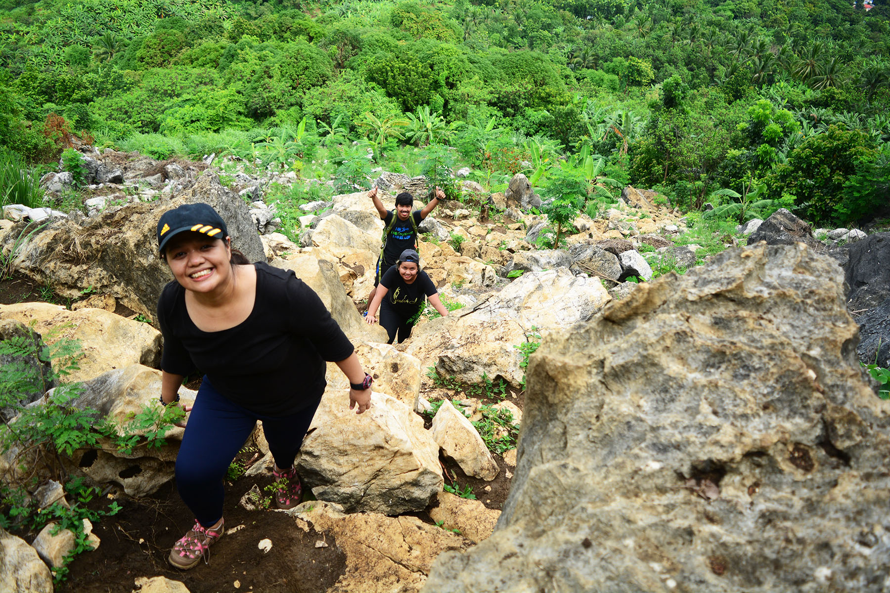
Several more painstaking ascent along the unforgiving limestone rocks, we stumbled another group of hikers on their way down who graciously offered us their spare water! Yey! What a relief! This is just why I love hiking mountains. It’s more than just the view and being in harmony with nature. It’s the friends we get to make along the way. No longer stricken with too much thirst, we gladly took on the final assault to the summit.
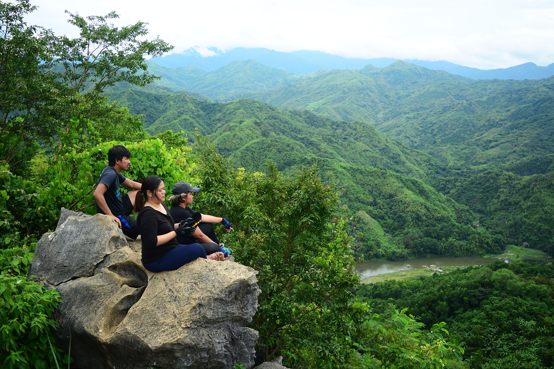
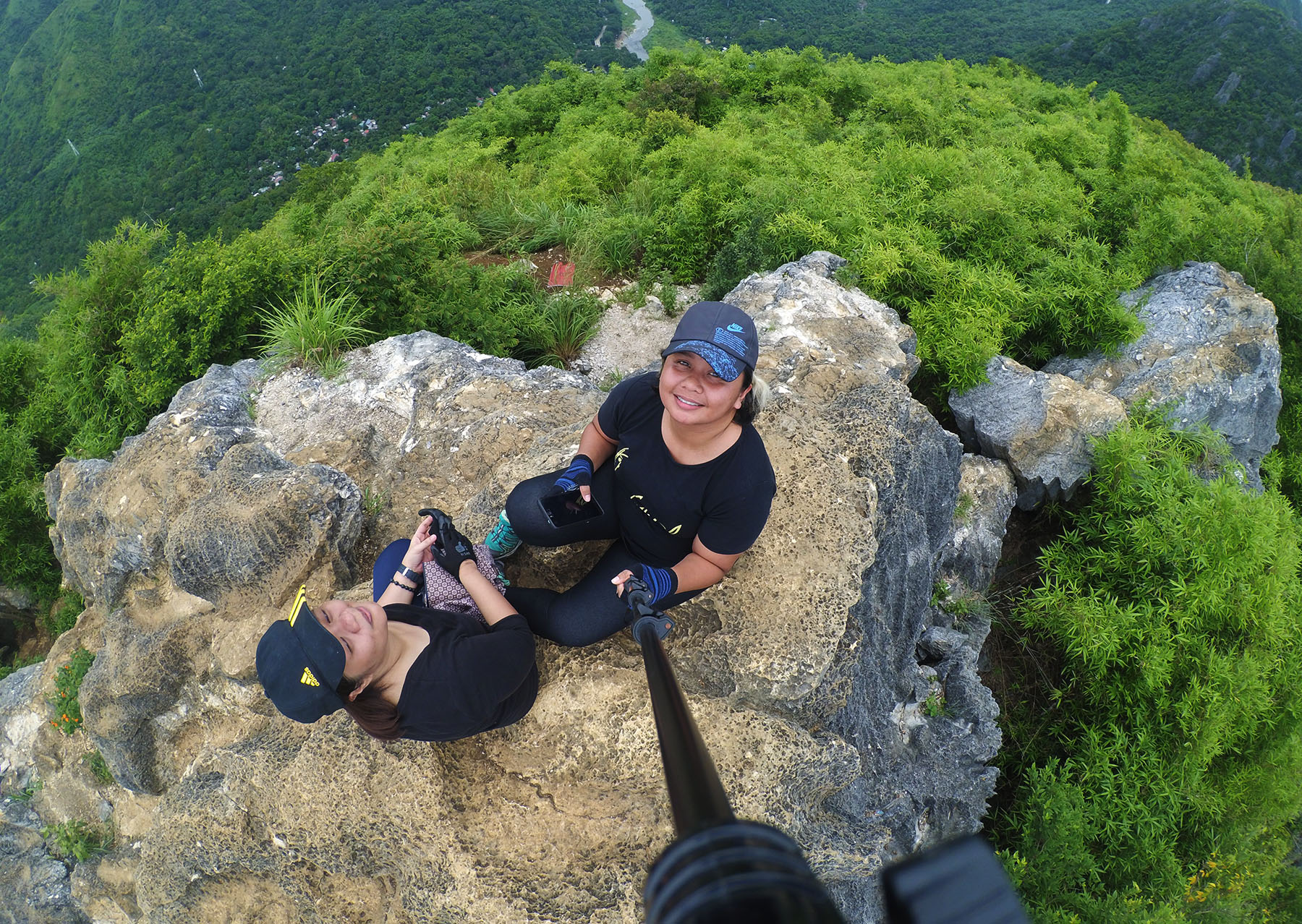
Going up the summit was quite a task as it was a difficult climb through rough limestone rocks on a 90-degree angle which is about 6-feet high. We had the option to skip the summit and head straight to the viewpoint where the best views await but I thought setting my feet at the highest peak of every mountain that I climb is an obligation I should always fulfill. Despite my energy running low by the minute, I tried really hard to scramble along those limestone formations to be able to cherish another glorious moment atop a magnificent peak..
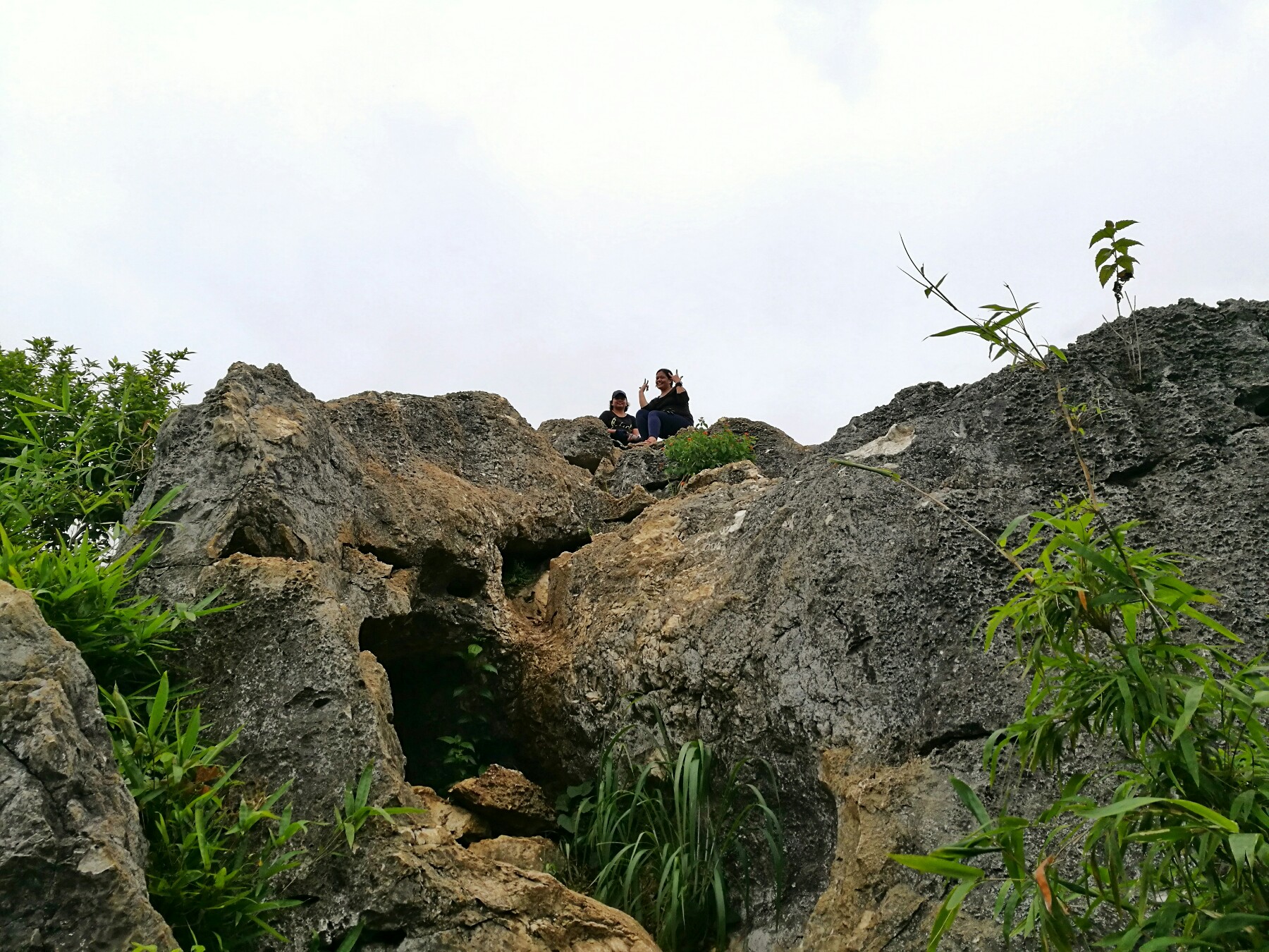
After getting ourselves enough of the views atop the summit of Mt. Binacayan, we started the descent with whatever vigor we had left. Fatigue was starting to take its toll that I was already dreaming of a warm bath and a massage as soon as we get that day’s hike over and done with. We took a different route going down. Our guide said it was a shorter route but thrice as hard than the trail we took in going up. I didn’t argue. I knew it would be difficult no matter which way we take so that left us with not much of a choice, really.
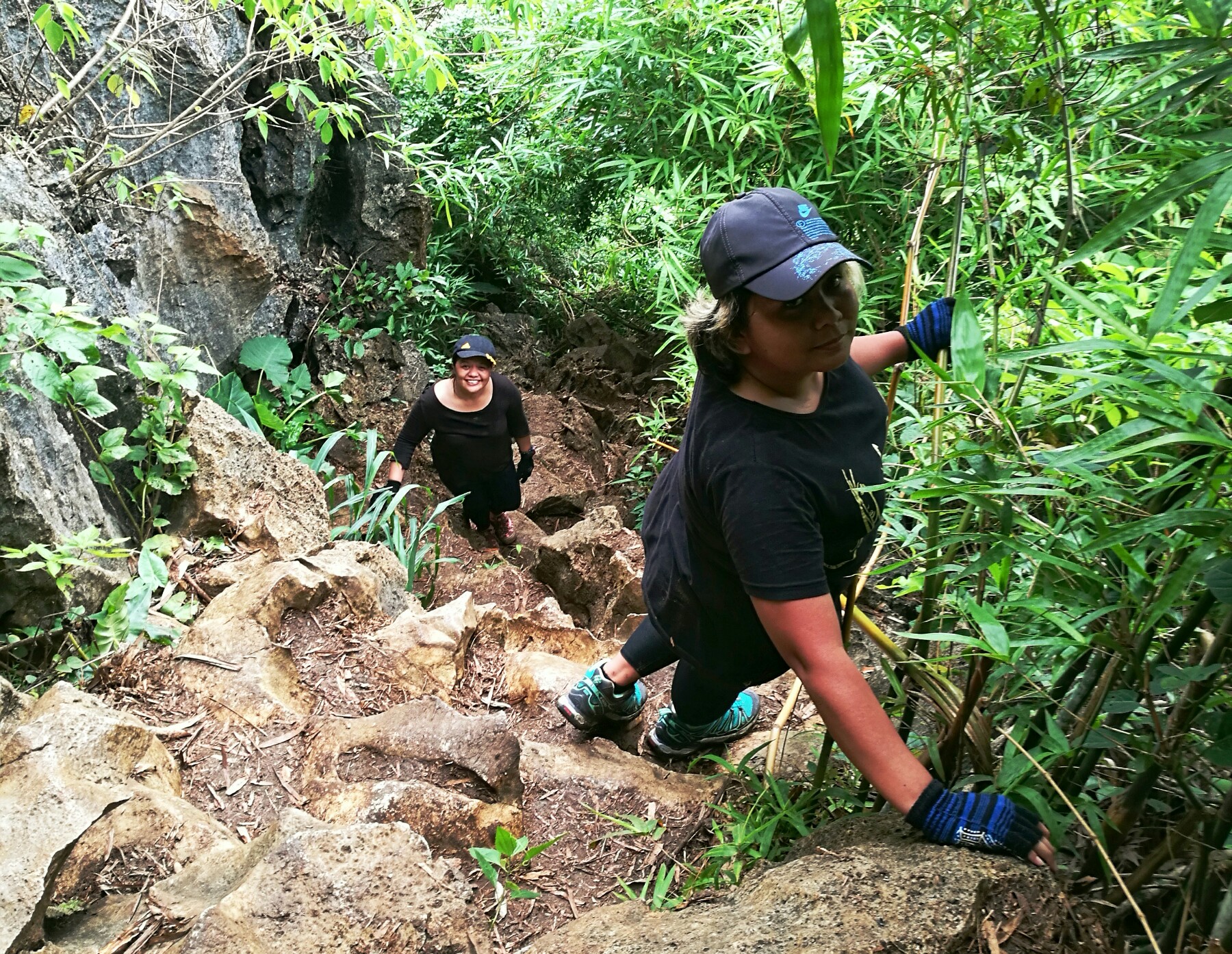
The descent consisted mostly of scrambling along near-vertical rock formations. There were no ropes so it was up to me and my fat limbs to find my way down. Like for me it was reaching whatever my feet could land on while my hands tightly held a rock to prevent my fall. The arduous descent took almost an hour that it was quite a relief the moment my feet landed on soft earth and I saw no more rocks on our further way down. From that point, we took the descent in a breeze just stopping for a moment in the resting camp near the “Rockies” to get us some water and moving on until we were finally back at the registration site.
TIPS & OTHER TRAVEL INFO
- Passenger vans going to Montalban Rizal are available 24/7 in Cubao, in front of Jollibee Farmers Plaza branch or in front of Gateway Mall. Fare is P50 per person.
- Tricycle service to Sitio Wawa is available 24/7 and cost P60 good for 3-4 people.
- DENR Office in Sitio Wawa as well as the trails don’t open to hikers until 4:00 AM.
- The mountains of Rizal have one of the most scenic views of the early morning sun with dreamy clouds filling up the horizon. Reservation is not necessary and they allow walk-ins.
- Bring gloves and/or any hand protection gear. You’ll need it to navigate through sharp limestone rocks when you assault the summit.
- Please wear shoes since trekking sandals might not give enough support for your feet during the hike along jagged limestone rocks.
- There are gloves sold in front of DENR registration for P50/pair.
- Guide Fee is P500 for 5 people in a group for each mountain. If you are to hike all 3 within the day, some guides would ask you to pay P1500 but there are some who would kindly consider a lower payment.
- As the common rule, please observe the LNT Principles. Bring trash bags with you and dispose of them upon getting back in the city. The locals of Sitio Wawa have no proper waste disposal facility at the moment so it will help greatly if we won’t add to the trash they would need to carefully dispose of.
- Plenty of toilets and bathrooms are available near the DENR office where you can take your necessities or wash up after the hike for a minimal fee.
HOW TO GO TO MT. BINACAYAN
Ride a UV Express in front of Gateway Mall Cubao in QC and alight in Eastwood Subdivision in front of the Ministop branch. Fare is P50. From there, ride a tricycle to Sitio Wawa and alight at the DENR Registration area. Fare is P60/trike/way good for up to 4pax. Register, secure guide and start hike.
SUMMARY OF EXPENSES, ITINERARY AND OTHER ESSENTIALS
| MOUNTAIN INFO | Name: Mt. Binacayan Elevation: 424+ MASL Location: Montalban, Rizal Jump Off Point: Brgy. Wawa Montalban Difficulty: 2/9 Features: Limestone karst. Scenic of the Sierra Madre Range and Wawa River |
| SUMMARY OF EXPENSES | RT Fare Van Cubao-Eastwood > P100 RT Fare Tricycle Eastwood-Sitio Wawa @ P60/3 > P40 Registration Fee > P30 Guide Fee @ P600/3 > P200 (We gave our young guide extra) Snacks > P50 Lunch > P150 TOTAL <<>> P570 |
| SAMPLE ITINERARY | 0230 Meet Up Jollibee Cubao Farmers Plaza 0300 ETD Eastwood 0400 Ministop Eastwood. Ride Trike to Brgy. Wawa 0415 ETA Brgy. Wawa 0430 Register 0445 Start Hike 0530 The Rockies 0545 Viewpoint 0615 Peak 1. Photo Ops 0645 Peak 2. Photo Ops 0700 Start Descent 0830 Back to Jump Off. Wash Up 0900 Breakfast 1000 Wawa Dam. Chill. Photos Ops. 1200 Lunch 1300 Start Trek Karugo Falls 1400 Karugo Falls. Chill Photo Ops 1600 Pack Up. Trek to Jump Off 1700 Jump Off. Log Out. Head Home 1900 Home |
| THINGS TO BRING | -2L Water -Trail Snacks -Packed Lunch -First Aid Kit with personal medication -Extra Clothes -Gloves -Sunblock -Toiletries -Garbage Bag |
| CONTACT NUMBERS | Guide: Joshua - 0948 895 7800 Note: He's quite young so forgive his being restless whenever you stop for breathers. He's also hikes pretty fast but he surely won't mind you asking him to slow down.. 🙂 |
NO SEA OF CLOUDS? NO PROBLEM
There you have it lovelies. Another peak survived. This may have been classified as newbie-friendly but mind you, the trails were never even in one instance easy. So that’s it for me. If you have questions, suggestions and violent reactions, just leave me your comments below.
Don’t forget to share!
Discover more from A Wanderful Sole
Subscribe to get the latest posts sent to your email.



10 Comments
Good read. Thank you for this! HM entrance po sa wawa dam?
Last time I was there it was free. Kasama na sya sa fee na babayaran pag-akyat ng bundok. Not sure now.
Hi. Is it still open during this pandemic? Are there new reqts prior to the hike? I am from Antipolo Rizal.
Hi Jo. I haven’t heard them opening yet. You can inquire from the number I put on this blog. I will probably update this blog if I get more info.
It’s the first time I’ll be going g for a hike. So is it a good choice
Yeah it definitely is.
Hi, I just want to ask if pwede maghike ng walang guide and kung may direction or signage ba along the way.
Hi. Required po kumuha ng guide if maghahike.
Sa DENR reg area po ba kami makakahanap ng guide?
Hi Dap. Yes. Nasa reg area po yung mga guides.