The Province of Rizal is without a doubt home to the most gorgeous mountains considering that it covers a sizable area of the Sierra Madre range. The most notable of these mountains are Mts. Daraitan, Balagbag and Binacayan. There are still quite a number of mountains that we have yet to discover and a handful I haven’t explored. One of them is Mt. Tagapo in Binangonan, Rizal. A little off the beaten path, this stunning mountain gave me that much-needed reconnection with nature I had been longing for months. It easily became the perfect avenue to stretch my flimsy limbs and get the adrenaline pumping especially after being stuck at home during the quarantine.
Mt. Tagapo is not your typical mountain. Unlike its neighbors in Tanay, this mountain sits on an island village called Talim in the middle of a lake. Talk about interesting and unusual. With that in consideration, the adventure to this little stunner starts with a 20-30 minutes ride on a passenger boat. It will entertain you with a view of several fishing villages until it’s time to get off at the jump-off.
The Hike To Mt. Tagapo
We didn’t get to start this hike until it was 4PM. My companions and I met in Cubao at 12NN instead of the initial plan of 10AM. I also by mistake thought that there are UVs (Utility Vans) from Cubao going to Binangonan. So instead of a smooth ride, we had to hop from one vehicle to another to reach our destination, Binangonan Port. We made it there just in time for another passenger boat to set sail shortly after 3PM.
The boat ride lasted thirty minutes over slightly rough waters. The afternoon wind was strong but it was nothing the boat couldn’t handle. We arrived with some enthusiastic locals. One of the villagers was too courteous as to show the way to the registration area without us even asking. Their hospitality was really comforting and welcoming that I didn’t feel the least bit wary. After logging our information and paying the fees, we met with our guide, and soon after, the hike began.
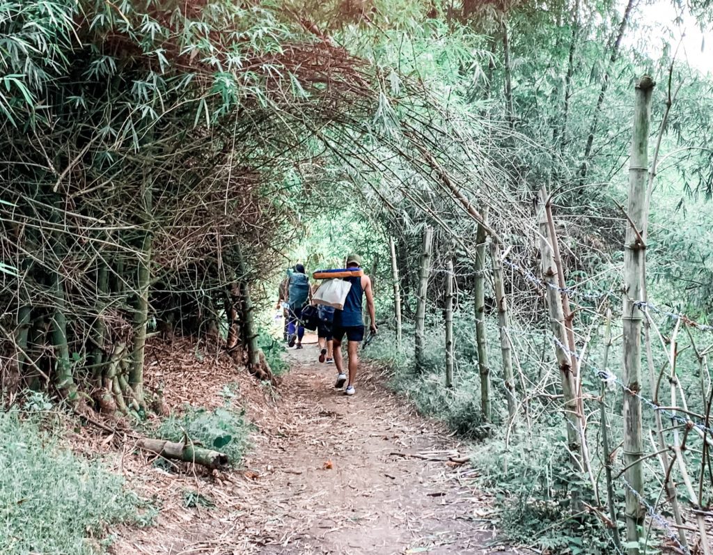
We started walking over a concrete path in between local houses. We turned several blocks and covered about 100 meters before switching to a dirt path. There were still a few houses along the way but as we slowly advanced, the more I saw the scene changed. Walking along flats with slight ascents over rocks, all I could see were bamboos hovering and towering over us. It reminded me so much of one of my favorite animes, Rurouni Kenshin, where several of his dramatic fight scenes happened within a dense bamboo forest.
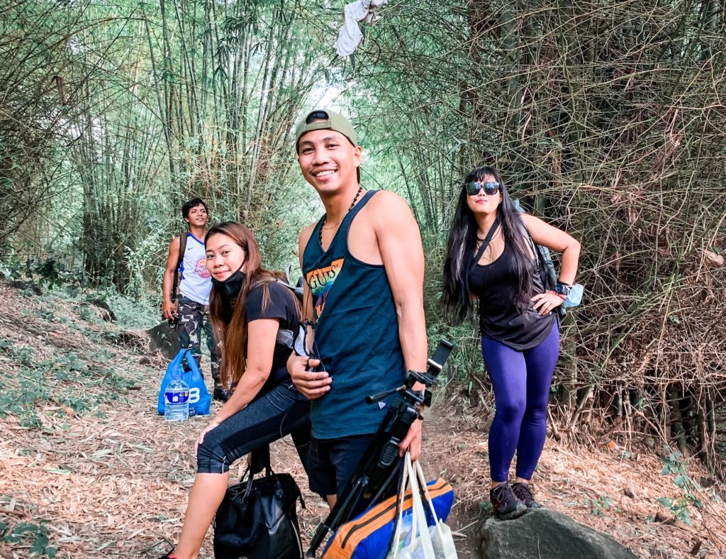
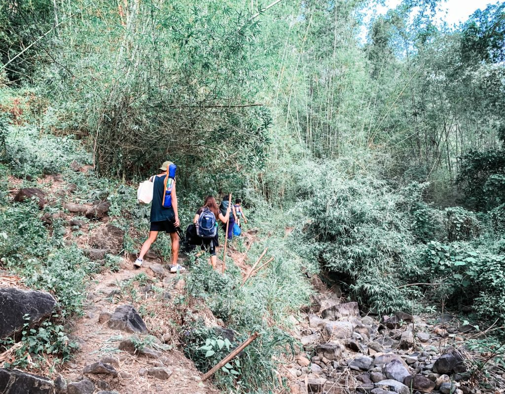
From flats, we slowly covered slopes with long mild ascents and descents over a rugged path. This would go on for about 10 minutes. We also passed by dried streams. Deep within the forest, the real challenge began. This time, we were faced with long ascents often steep along rocks and soft earth. Bamboo still dominated most of the scene but I also noticed other species of trees starting to take over. No other view could be seen from afar other than the canopy of trees until we covered about half of the hike. It was then that we had a glimpse of the vast waters of the lake surrounding the island.
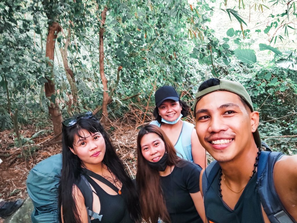
The hike continued over long steep ascents with a few short flats in between. It was grueling but that is exactly what we signed up for. We were also trying to reach the summit to witness the sunset. Five minutes before 5PM, we emerged from the forest and continued the ascent along thick and tall grass that obscured the trail. Ten minutes later, we reached the campsite that offered an unobstructed view of the summit. From there, the summit is just another 10 minutes of moderately steep ascent.
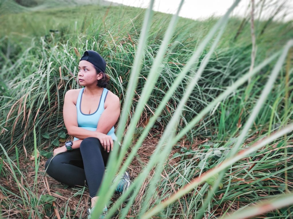
We chose to settle for the campsite and decided to just go for the summit the next day. The monsoon wind was pretty relentless as we set up camp. It was blowing steady and fast as if a strong typhoon was about to hit. I could even hear it whistle a little. The wind together with the evening breeze made the night freezing. I would have loved to stay and finished that bottle of The Bar Pink after dinner, but I was too sleepy to even care for a glass to drink. Instead, I was off to my deep slumber in the comforts of our tent.
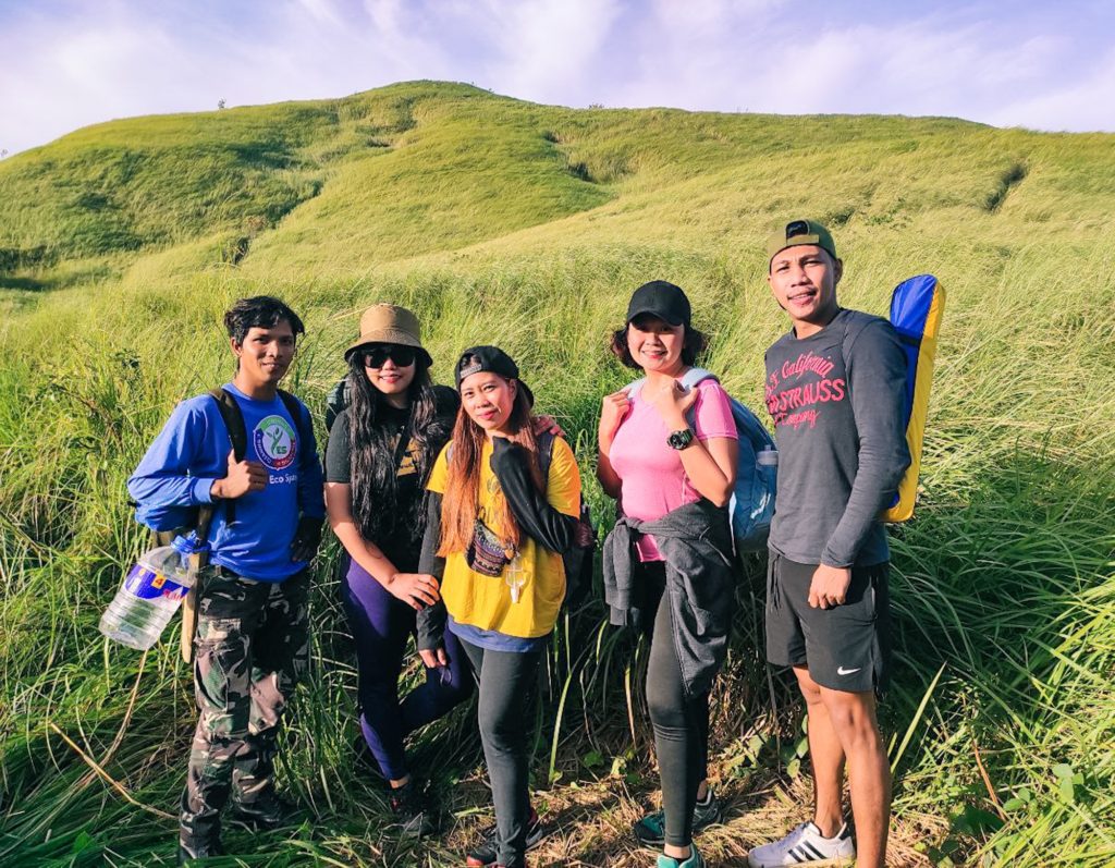
The following morning, we woke up to a moonlit sky that slowly turned into blue with dashes of fluffy white clouds. The sunrise was nowhere in sight but we could feel its warmth. The wind from yesterday was unchanged but was more bearable. We had coffee, scrambled eggs, and pancit canton for breakfast. Thought that would suffice to get us through the hike from the peak and the descent later on. Shortly after we had our meal, we broke camp and headed for the climax of our adventure, the summit.
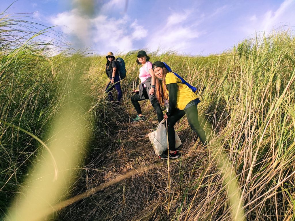
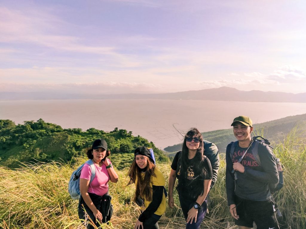
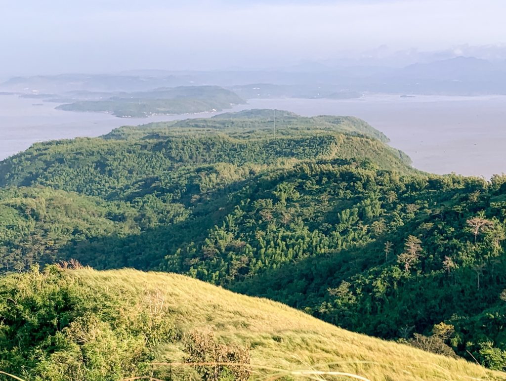
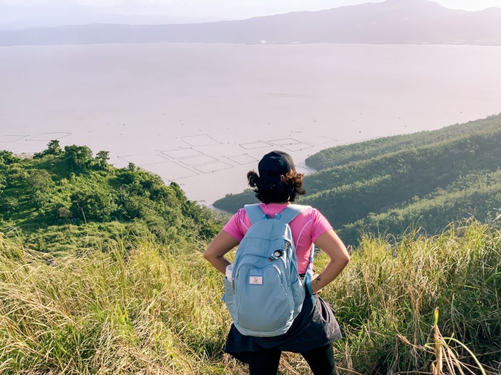
The ascent to the summit from the campsite was really easy. It was moderately steep all the way through. The tall grass still obscured part of the trail and was sassy enough to give our faces some spanking. We reached the summit after 10 minutes and the 360-view of the lake, the nearby mountains and the metro from the distance entertained us for a while. It was such a beauty and one I truly appreciate especially after months of not being able to stand on a mountain peak. I could say several more adjectives to describe it but I let the photos and my fulfilled heart speak for it.
How To Go To Mt. Tagapo
Note: I, by mistake, chose to start our adventure in Cubao. So from there, we rode a UV going to Cogeo (20 Min | P50/way/head). The driver dropped us off in front of Sta. Lucia Mall. We walked to Robinsons and rode the jeep all the way to Binangonan Port (1 Hr | P45/way/head).
Useful Tips In Hiking Mt. Tagapo
- Reservation is not necessary. Booking a guide is not encouraged since they follow a sequence to be fair to all of them.
- Boats going to Talim Island are available starting 5AM until 6PM depending on the number of passengers. Boats from Talim Island going back to the mainland are available as late as 5PM-6PM.
- Camping at the summit is not allowed for safety reasons. Designated campsites are situated 10-15 minutes away from the peak.
- The hike from the trailhead to the summit will take up to 2 hours at a moderate pace and with ample rest.
- Mt. Tagapo is a fairly easy hike. Its trails have the right combination of steep ascents and flats. It is perfect for newbies and kids.
- There are 2 different trails from Brgy. Janosa to the summit of Mt. Tagapo. One is deep within the bamboo forest which is what we took. The other is an open trail and is said to be the easier route with more flats than ascents.
- There are no stores nor water sources in Mt. Tagapo so it’s advisable to store up on water and food before the hike.
- For safety, wearing of face mask and face shield is required. Having alcohol handy is a must.
- Always LEAVE NO TRACE. Bring your trash with you and dispose of them properly. Don’t vandalize. Don’t pick plants. Just enjoy the view and hope future generations get to see it too.
Budget, Itinerary & Other Essentials
| BASIC INFO | Name: Mt. Tagapo Elevation: 438 MASL Difficulty: 2/9 Jump-Off Point: Brgy. Janosa Binangonan Rizal Features: Bamboo Forest. Grassland. View of Rizal and the Metro at the summit |
| CONTACT | Brgy. Janosa/Kap Henry - 09334024093 | 09463677535 |
| WHAT ARE THE FEES | Registration - P30/head Guide - P500 Day Hike | P1000 Overnight Guide Cap - 1:5 |
| SUMMARY OF EXPENSES (4Pax/Overnight) | 2-Way Cubao-Cogeo - P100 2-Way Cogeo-Binangonan Port - P90 2-Way Boat - P110 Registration - P30 Guide @ P1000 - P250 Food - P250 Total - P830/head |
| THINGS TO BRING | Day Hike 2L Trail Water Trail Food Sunscreen Cap Extra Clothes Toiletries Flip flops Poncho/Raincoat Overnight All Day Hike Essentials 1L Camp Water Camp Food Tent Sleeping Bag Insect Repellent Flashlight Cookset Camping Stove Plates & cutlery Camping Mug |
| SAMPLE ITINERARY | Day Hike 0400 Meetup McDonald's Greenfield 0430 ETD Binangonan Port 0530 ETA Binangonan Port 0600 ETA Jump-Off 0630 Start Hike 0800 Campsite 0830 Summit 0930 Start Descent 1100 Back at Jump-Off. Wash Up 1200 Lunch 1300 ETD Binangonan Port 1330 ETA Binangonan Port 1400 Sidetrip/Head Home Overnight Day 1 0900 Meet Up Starmall Shaw 1000 ETD Binangonan Port 1200 ETA Binangonan Port. Lunch 1300 ETD Jump Off 1330 ETA Jump Off. Register 1400 Start Hike 1600 Campsite. Set Up Camp 1530 Summit. Sunset 1800 Prep Dinner 1900 Dinner/Socials 2200 Lights Out Day 2 0600 Wake Up 0700 Breakfast 0800 Break Camp 0900 Start Descent 1100 Jump Off. Wash Up 1200 Lunch 1300 ETD Binangonan Port 1330 ETA Binangonan Port 1400 Sidetrip/Head Home |
There you have it, lovelies! I hope you enjoyed our Mt. Tagapo Hike. For inquiries, just leave them in the comments. Follow my adventures on Facebook and Instagram. Until next time. Ciao!
Discover more from A Wanderful Sole
Subscribe to get the latest posts sent to your email.



11 Comments
Hi, mayroon po bang cr sa campsite?
Wala pong cr sa campsite.
hello, planning po kasi ako mag DIY this year sa Mt. Tagapo, ask lang po kung dala nyo po ba lahat ng gamit nyo or puwede po mag-iwan sa may jump off? thank you
Yes. You can leave nman some of your things dun sa barangay.
may parking ba doon sa drop off port….safe po ba mag iwan ng sasakyan doon?
Yes. Meron po. May nagffacilitate ng parking so you can just ask.
Very nice. Napaka informative po
Thanks sa info🫶
Thanks!
Always po ba na available ang mga guide sa mt.tagapo kahit po ndi nagpa book?
Hi Mhai. Yes. All day nman available yung guides dun.
This is nice.